Input From Local Governments Needed Soon Regarding 2030 Census Blocks
The Montana Department of Commerce’s Research and Information Services Bureau is asking city and county governments for suggested changes to prototype census blocks generated by the U.S. Census Bureau. Current census block boundaries, drawn in 2020, will be updated for the 2030 Decennial Census. RIS must submit all new boundary suggestions to the U.S. Census Bureau by May 29, 2026.
“It’s important for these boundaries to accurately reflect current conditions in every Montana community,” said RIS Bureau Chief Mary Craigle. “Population size, geographic boundaries and community developments have changed since 2020. Accurate census block boundaries are critical since they are used to allocate nearly $3 billion in federal funding annually to Montana. The Block Boundary Suggestion Project is also the basis for redrawing district lines for representation in the U.S. Congress and in the Montana State Legislature.”
For example, if a city has annexed land into the city limits since the 2020 Census, the boundaries need to be redrawn to provide an accurate base for the 2030 Decennial Census, which will be the static boundaries until 2040.
Local redistricting partners have two options for updating boundaries:
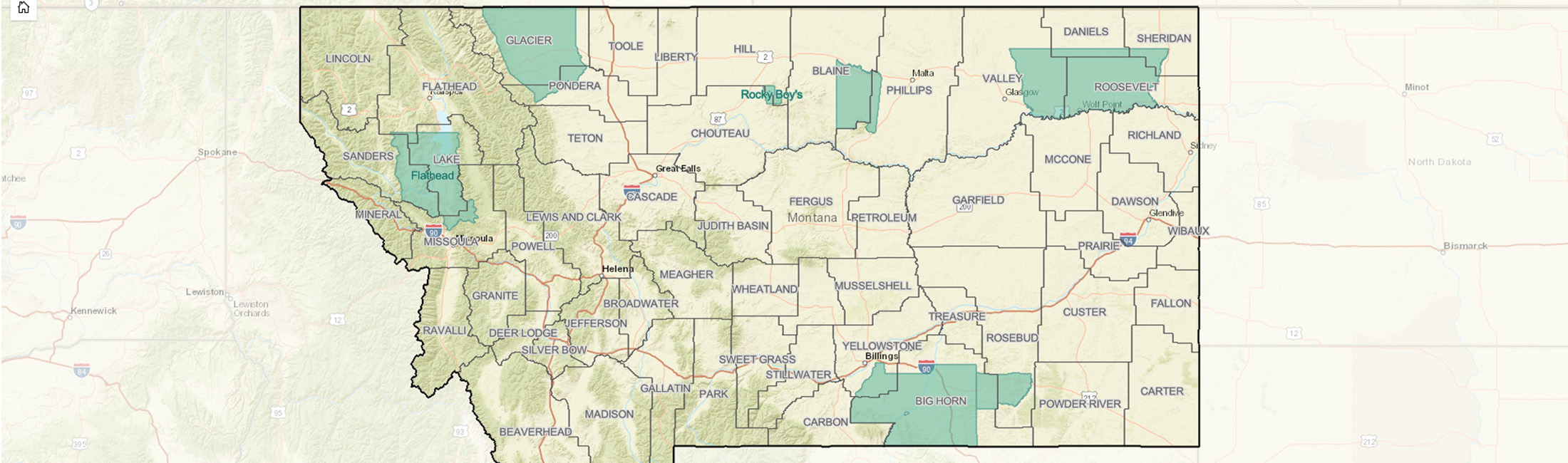
- Option One: Start by reviewing the Prototype 2030 Census Blocks online map at arcgis.com, which includes the 2020 Census Blocks for reference. Using the U.S. Census Bureau’s Geographic Update Partnership Software, work with your staff to submit suggestions. Commerce will schedule a webinar to set up GUPS accounts and review the program.
- Option Two: Submit suggestions to Commerce’s RIS Bureau rather than working directly in GUPS. This will require a series of meetings between local government officials and Montana’s redistricting liaison, Commerce GIS Analyst Dave Ritts, to review the prototype census blocks and make edits as needed.
Timely submissions from local governments will allow RIS adequate time to review, coordinate and submit all final changes to the U.S. Census Bureau by the May 29 deadline.
The U.S. Census Bureau generated the Prototype 2030 Census Blocks using a process that identifies and prioritizes linear features like roads and streams as boundaries. A census block in a city is typically a city block surrounded by city streets, while a rural block can be much larger and might use a prominent road to define the boundary. In some cases, the prototype block will need to be adjusted.
Typical block boundary suggestions occur in areas of new business or housing development around cities where new roads can be identified and added to suggest new blocks. Area landmarks, such as a new prison or cemetery, can also be added to suggest new blocks.
Block boundary suggestions can split blocks with large populations or combine blocks with small populations. For example, one side of a large rural block might closely align with one community, while the other side closely aligns with a different community; therefore, it might be best to split the large block between them. The U.S. Census Bureau reserves the final right to accept or reject any suggested changes.
Contact Montana Redistricting Liaison and GIS Analyst Dave Ritts at dave.ritts@mt.gov or 406-841-2030 as soon as possible to discuss your county’s participation or review potential boundary changes.
For more information about Commerce’s RIS Bureau, visit commerce.mt.gov/data-research.
Tags: Article